— from San Juan Communications —
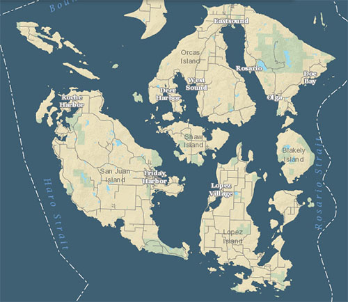 The San Juan County “Recorded Plats, Surveys, & Condos” map was first released in 2014 with very approximate and often erroneous locations of recorded documents. About a year ago, the San Juan County GIS team collaborated with the County Assessor’s Office with a plan to correct and update the data. For eight months, Chris Ledgerwood, Cartographer for the Assessor’s Office, meticulously pinpointed and updated the location of over 5,000 maps one-by-one.
Over 5,000 maps of recorded Surveys, Long Plats, Short Plats, Condominiums, Planned Unit Developments, and Binding Site Plans are located on this map by color-coded pinpoint dots. Click on any dot and scroll down within the pop-up Information window to find active links to the actual related survey maps as PDF images. Click on the PDF image link and the PDF map will show up in your browser.
Spreadsheets and GIS shapefiles of the mapped locations (excluding PDF documents) can be downloaded from the San Juan County Open Data website.
Every effort is made to maintain correct and updated data. However, there may be missing documents or mapping errors. Please report questions or data issues to us at sjcgis@sanjuanco.com.
**If you are reading theOrcasonian for free, thank your fellow islanders. If you would like to support theOrcasonian CLICK HERE to set your modestly-priced, voluntary subscription. Otherwise, no worries; we’re happy to share with you.**

