||| FROM NATIONAL WEATHER SERVICE |||
URGENT – WEATHER MESSAGE
National Weather Service Seattle WA
109 PM PST Wed Dec 17 2025
San Juan County-Foothills and Valleys of Pierce and Southern King Counties-Foothills and Valleys of Thurston and Lewis Counties- Lowlands of Western Whatcom County-Lowlands of Western Skagit and Northwestern Snohomish Counties-Lowlands of Pierce and Southern King Counties-Olympia and Southern Puget Sound-Lowlands of Lewis and Southern Thurston Counties-Willapa and Black Hills-Northern Washington Coast-Grays Harbor County Coast-Island County- Including Covington-Sawyer-w, Rochester, Maple Valley, Tacoma, Ocean Shores, Mount Vernon, Morton, Lea Hill, Westport, Lacey, Quillayute, Elk Plain, Fords Prairie, Olympia, Enumclaw, Friday Harbor, Kent, La Push, Burlington, Federal Way, Freeland, Neah Bay, Bellingham, Queets, Ozette, Tumwater, Langley, Prairie Ridge, Pe Ell, Renton, Chehalis, Grand Mound, Anacortes, South Hill, Mossyrock, and Sedro-Woolley 109 PM PST Wed Dec 17 2025
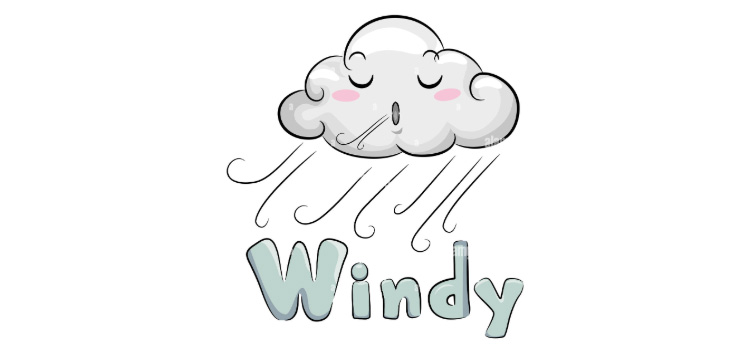
…WIND ADVISORY IN EFFECT FROM 11 AM TO 7 PM PST THURSDAY…
* WHAT…South winds 15 to 25 mph with gusts up to 45 mph expected.
* WHERE…Portions of northwest and west central Washington.
* WHEN…From 11 AM to 7 PM PST Thursday.
* IMPACTS…Gusty winds could blow around unsecured objects. Tree limbs could be blown down and a few power outages may result.
PRECAUTIONARY/PREPAREDNESS ACTIONS…
Use extra caution when driving, especially if operating a high profile vehicles. Secure outdoor objects.
Secure outdoor objects.

**If you are reading theOrcasonian for free, thank your fellow islanders. If you would like to support theOrcasonian CLICK HERE to set your modestly-priced, voluntary subscription. Otherwise, no worries; we’re happy to share with you.**